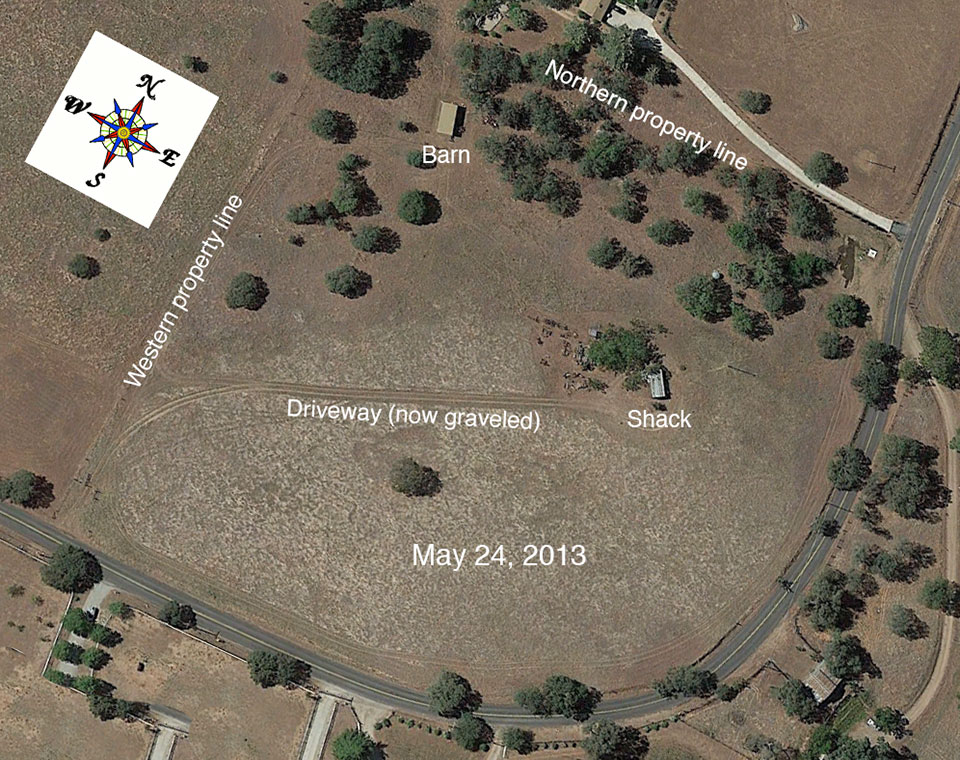
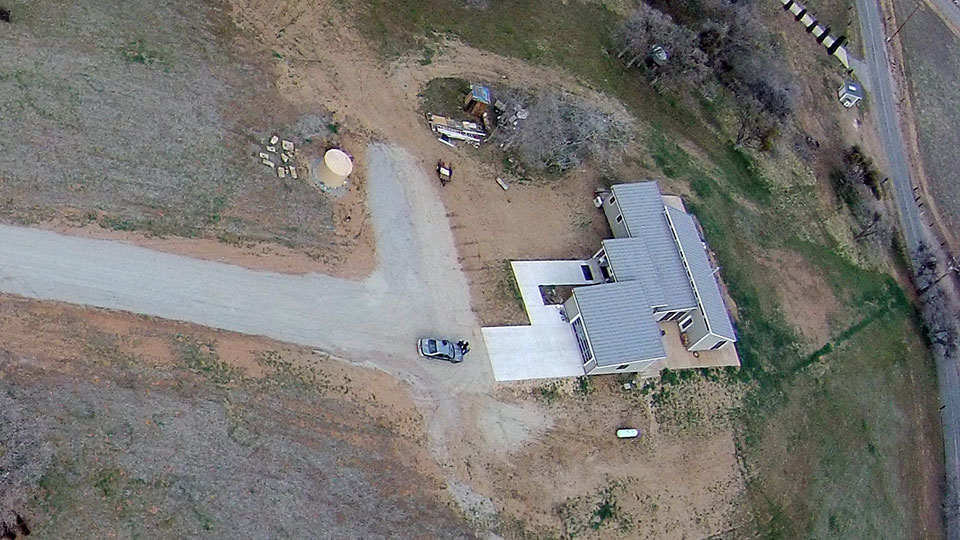
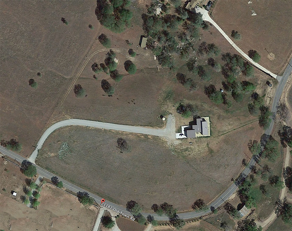
These aerial photos were taken on Sunday, February 22, 2015. Each close shot is followed by a zoomed-out version. The last image is from Google Earth, was taken on May 24, 2013, and shows our barn and original plywood shack. Six months after this Google Earth shot was taken the shack was demolished, the driveway covered by decomposed granite, and construction on our new home commenced. A short video shows how these photos were made.
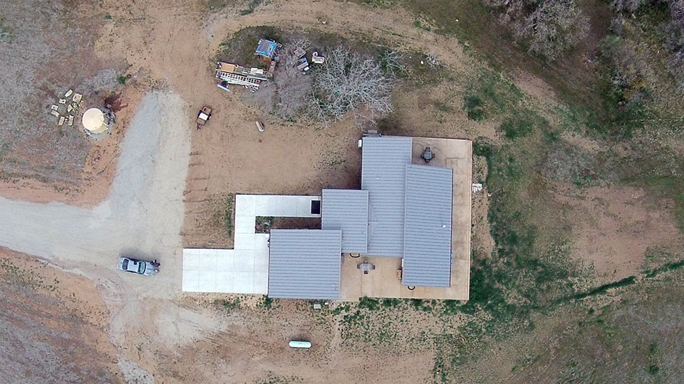
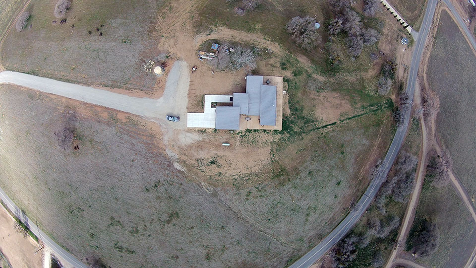
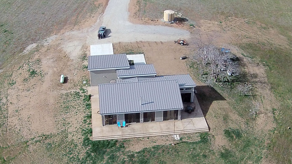
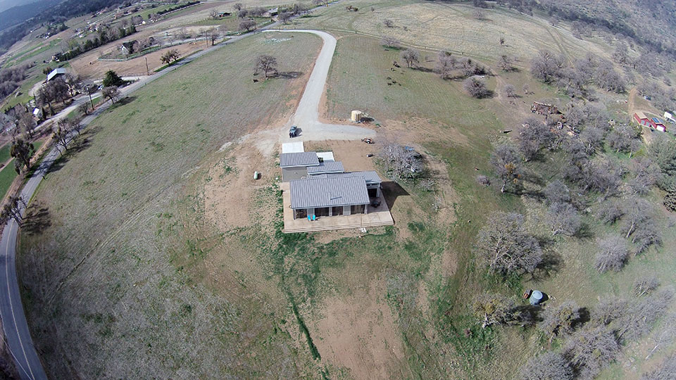
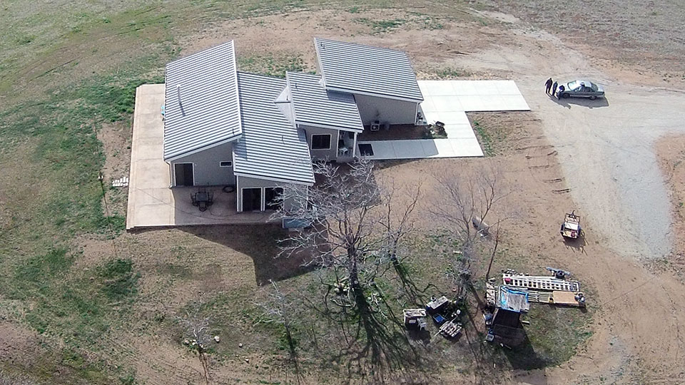
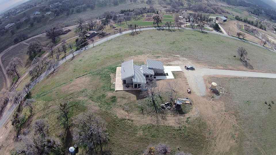
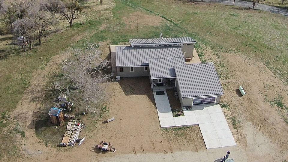
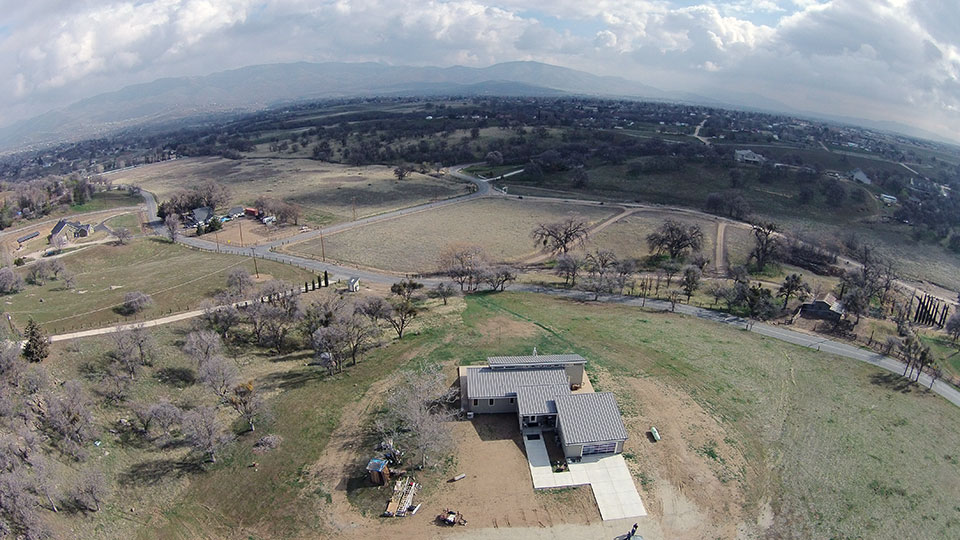
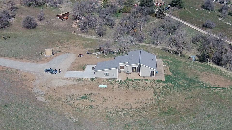
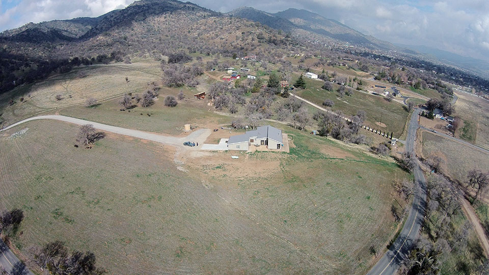
Comparing the view above with the one below is helpful in identifying our progress.
The driveway is a good point of reference. Dimensions are roughly 660 feet per side.